Geographic Information Systems Lab
Lab Description
The
Geographic Information Systems Laboratories of the Surveying
Engineering Department is constructed over an enclosed area of 290
square meter. It is fully equipped and supported by highly qualified
technical staff to respond to the needs of academic institutions,
researchers, engineers and construction industries for:
Equipment
Latest
state of the art equipment's that are mostly fitted with computerized
data collection are used to perform various types of materials testing
to the highest standard. Some of these equipment are :
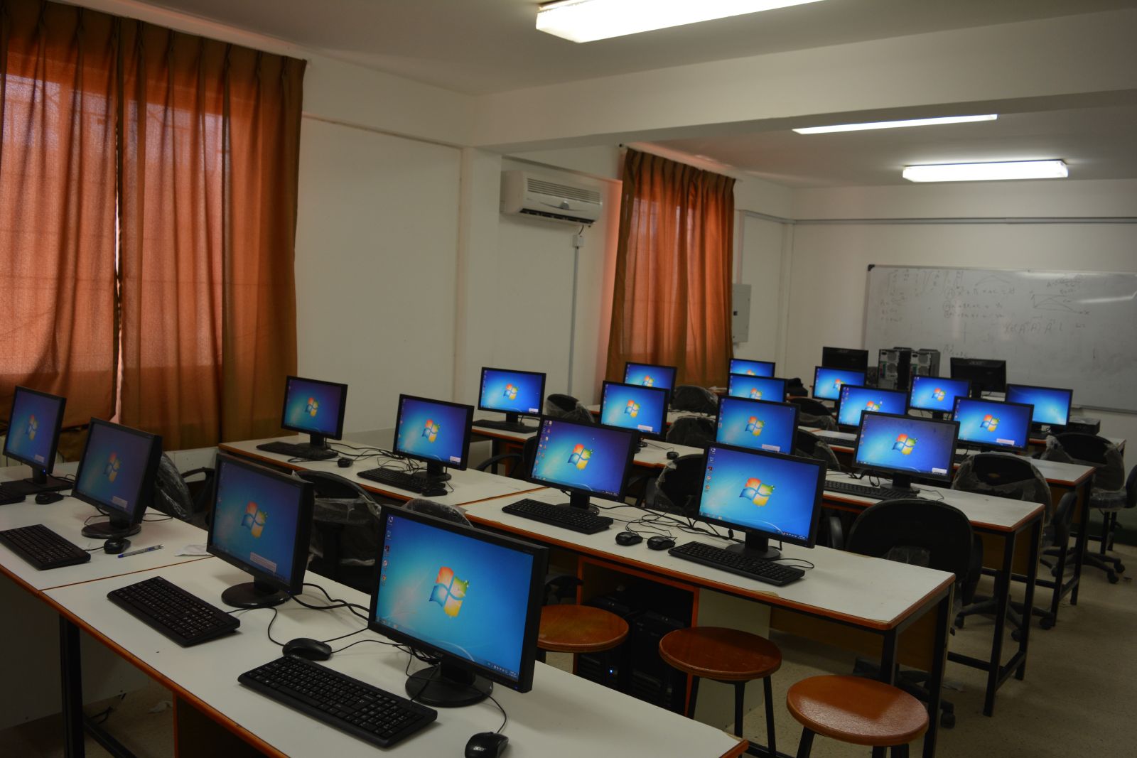
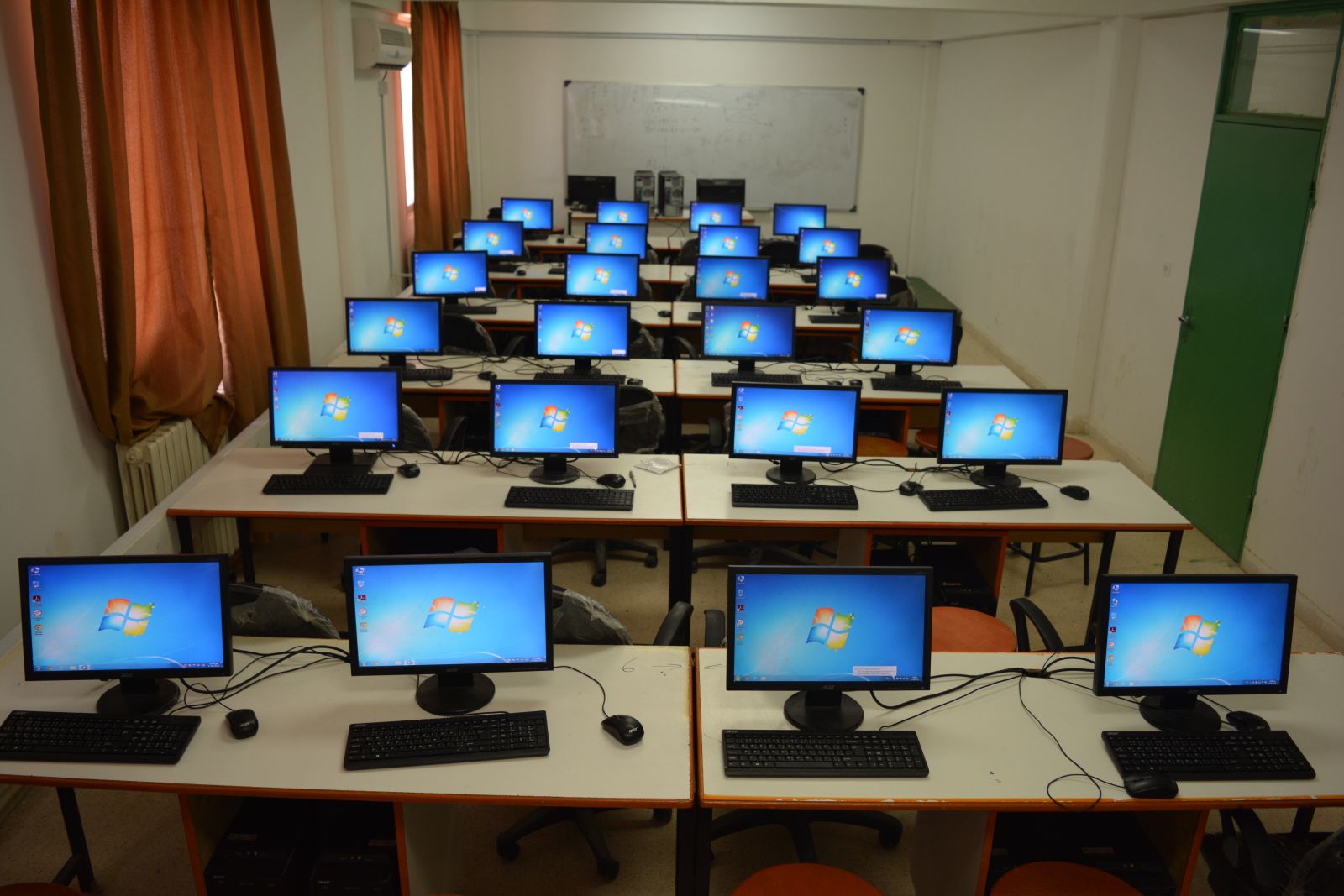
Computers 27
2Smart Board
Programs
1-ARC
GIS (Is an integrated geographic information system issued by the
Environmental Systems Research Institute Inc. and known as (ESRI) of
this system as integration as a system consists of three main parts (Arc
GIS Desktop , Arc SDE, Arc IMS.)
Lectures
Geographic Information System
Geographic Information System lab
Data Analysis in GIS
Data Analysis in GIS lab
Satellite images processing and analysis
Satellite images processing and analysis lab
Digital terrain modeling.
Testing Services
The followings are the major activities that can be performed at Geographic Information Systems Laboratory :
Assist in new projects and expansion planning.
It helps speed access to a large amount of information effectively high.
Help to make the best decision in the fastest time.
Help in the dissemination of information to the largest number of beneficiaries.
The integration of spatial information and metadata information in a single base information.
Documentation and confirm the data specifications and standardized information.
Information and coordination between the relevant authorities before making a decision.
High spatial analytical ability.
The ability to answer queries and own the place or descriptive information inquiries.
The ability to visual representation of spatial information.
Assimilation
(Modeling Simulation) for new proposals and planning projects and study
results before the actual implementation on the ground.
Technical Staff
All
training programs and measurements are run by highly qualified
engineers and technicians who are constantly supervised by experienced
faculties in order to assure the compliance of these technical
activities with international standards. the software of Geographic
Information Systems use to Fuel gas networks applications ,Water
systems applications ,Sewage applications. ,Phone applications and
services, Special applications Forests and Transportation applications
Lab Location :
Faculty of Engineering - surveying Engineering Laboratories - SV1

